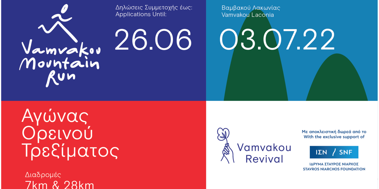
A unique mountain run will take place the first Sunday of July on the slopes of Mount Parnon at Lakonia, that will start from and finish at the village of Vamvakou. The sport event is being realized for a second time by Vamvakou Revival, within the framework of the initiative for the revival of the village with the support of the Stavros Niarchos Foundation (SNF). The event Vamvakou Mountain Run 2022 includes two routes a) one of 28 kilometers and b) one of 7 kilometers & relay races.
Those interested are invited to register here. It should be noted that Vamvakou Mountain Run does not have a competitive profile, but aims at rewarding participation, achieving familiarization with mountain running and boosting a sports culture. However, official timing will apply. Moreover, at 17:00, the closing ceremony of the Run will take place where medals will be awarded to the first three winners of the general rank of each race for both Men and Women. A big concert with Gadjo Dilo will follow.
Supervised by: Ioannis Dimopoulos
Awards
During the closing ceremony, medals will be awarded to the first 3 men & women winners of the general rank. Medals will be also awarded to the first 3 men & women winners of each of age categories (18-39, 40-59 & 60+ years),
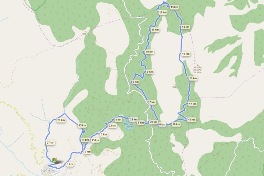
Brief route description:
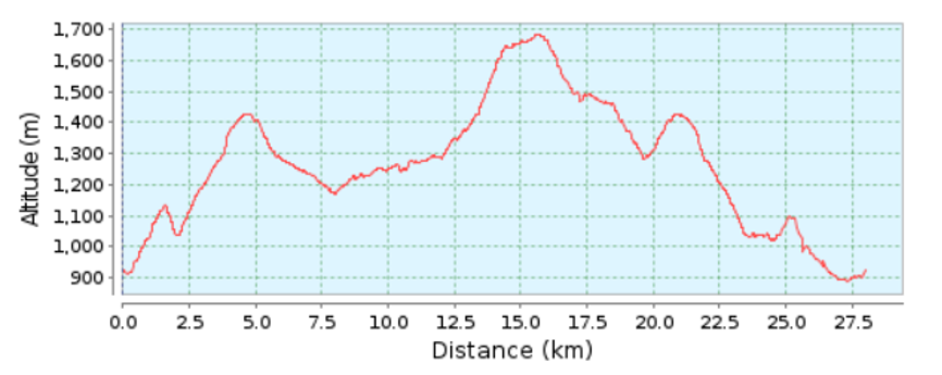
1. Starting point: Stathmos Sygkiniseos [Emotion Station], 0 km: 950 m. altitude
2. Logou location, 2nd km: 1,038 m. altitude
3. Sparti Refuge location: 5th km: 1,414 m. altitude
3. Forest road (Mandres) location towards Prophitis Ilias: 8th km: 1,258 m. altitude
4. Prophitis Ilias location: 14.5th km: 1,645 m. altitude, where runners will be timed with the use of a special floor mat
5. Forest road (Mandres) location towards Profitis Ilias: 17th km: 1,258 m. altitude
6. Sparti Refuge location: 20,5th km: 1,414 m. altitude
7. Logou location, 23rd km: 1,038 m. altitude
8. Agia Kyriaki location, 25th km: 984 m. altitude
9. Finishing point: Stathmos Sygkiniseos [Emotion Station], 28th km: 950 m. altitude
*There will be five feed stations set up along the route of the long race, providing participants with water, isotonic drinks, gels, dried nuts, fruit and salt, according to the point of the route. Moreover, water will be given to the runners at the starting and finishing points. At the finishing point, a light meal will be offered to the runners finishing the race.

Graph of altitude throughout the 28 km route


